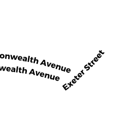
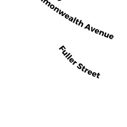
1569 COMMONWEALTH AVE
Owner Information
CHOI WAI MING & MAY YING
1569 COMMONWEALTH AVE
NEWTON, MA 02465


Property Details
1569 COMMONWEALTH AVE is classified as a Single Family Residential (Ranch).
The primary structure on this property was built in 1949. There are 3,964ft2 of built area within this property. There is 2,072ft2 of residential/living space within this property. This property is listed as having 7 rooms.
1569 COMMONWEALTH AVE is valued at $1,132,400. The land is valued at $912,100 and the structures are valued at $220,300.
This property is in Zone SR1. Confirm with local Zoning Board authorities to ensure there are no overlays or other easements on this property.
The most recent deed for 1569 COMMONWEALTH AVE is recorded at the local registrar in Book 20848, Page 412. 1569 COMMONWEALTH AVE was last sold on Thursday, November 1, 1990 for $295,000.
Assessment data from fiscal year 2022.
Flood Data
According to the FEMA National Flood Hazard Layer, this property does not appear to be in a flood zone. It may also be in an area not yet reviewed. Nonetheless, confirm this information prior to taking any action.
To view the flood hazards around this property, create a FEMA "Firmette" Map of the area around 1569 COMMONWEALTH AVE.
Broadband Internet Providers
| Provider | Type | Bandwidth (mbps) | |
|---|---|---|---|
| HughesNet | Satellite | 25 | 3 |
| GCI Communication Corp. | Satellite | 0 | 0 |
| RCN | Cable | 500 | 20 |
| Viasat Inc | Satellite | 100 | 3 |
| Verizon New England Inc. | DSL | 5 | 0 |
| Verizon New England Inc. | Fiber | 940 | 880 |
| Comcast | Cable | 1000 | 35 |
| VSAT Systems, LLC. | Satellite | 2 | 1 |
Broadband service provider data from December 2020.
Adjacent Properties
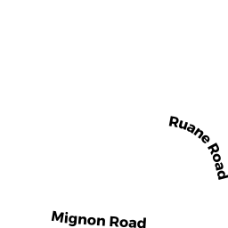
- 18 MIGNON RD
Single Family Residential owned by SCHERZER CLEMENS R - 28 MIGNON RD
Single Family Residential owned by DEMEO DANIEL & SUZANNE - 1575 COMMONWEALTH AVE
Single Family Residential owned by GLADSTONE MARTIN & SUSAN R - 1555 COMMONWEALTH AVE
Single Family Residential owned by MARCUS LEONARD C & EUGENIA TRS